West Texas Experiences Memorable Weather with Eclipse and Severe Storms

West Texas Experiences Memorable Weather with Eclipse and Severe Storms
Discover how West Texas was captivated by a unique weather phenomenon, blending a stunning eclipse with severe storms. A remarkable event detailed.

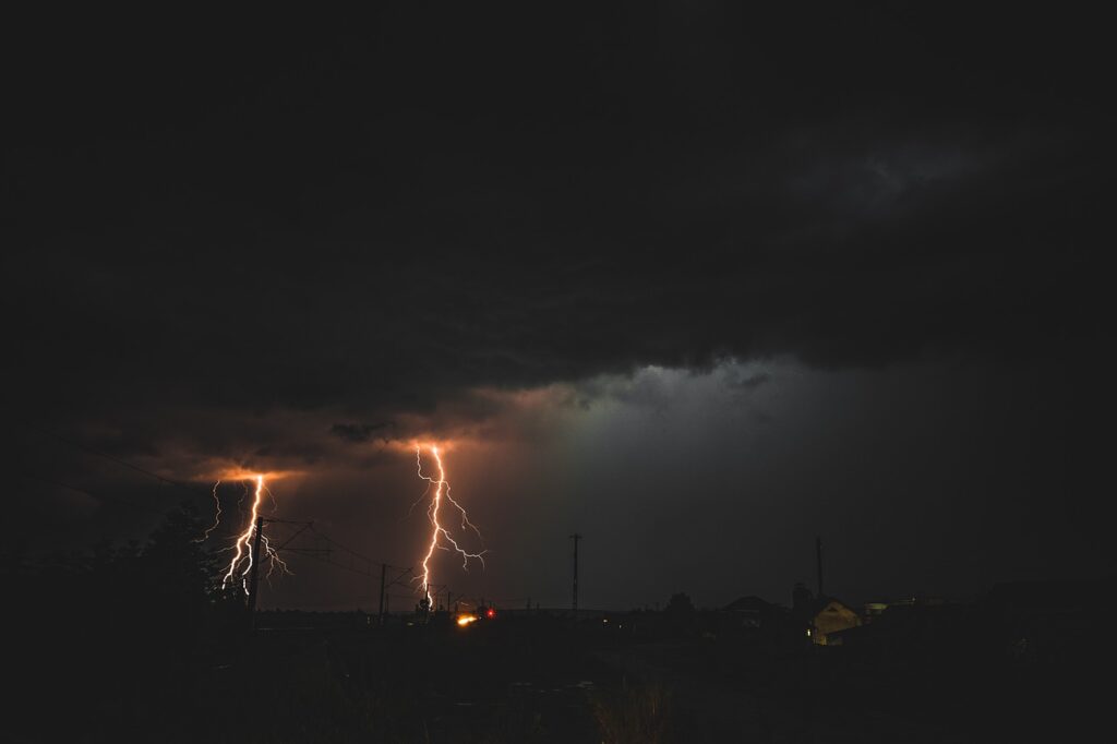
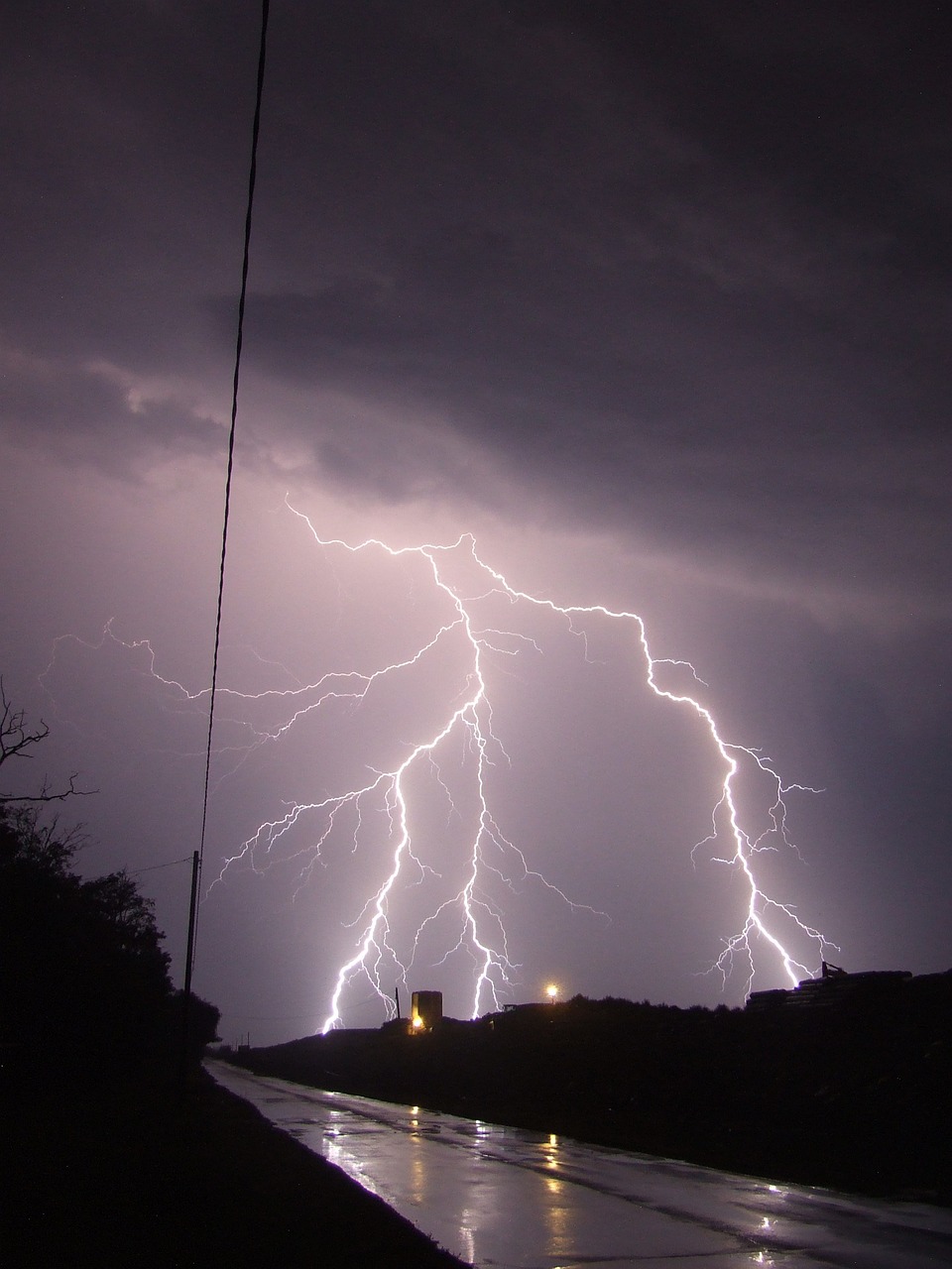
Residents of West Texas were treated to a rare combination of astronomical and meteorological events on Monday, April 8th and Tuesday, April 9th, 2024. A partial solar eclipse kicked off an active period that brought multiple rounds of severe thunderstorms, heavy rain, hail, and damaging winds to the region.
Severe Thunderstorms Develop in Wake of Solar Eclipse
The excitement began Monday afternoon as a partial solar eclipse briefly blotted out much of the sun’s energy across West Texas. Despite the eclipse and a passing cold front, temperatures still managed to climb into the upper 60s and 70s, providing the warmth needed for scattered thunderstorms to develop late in the day.
As moisture surged northwestward ahead of an approaching storm system, some of the initial thunderstorms began to rotate due to strong wind shear aloft. This rotation promoted stronger updrafts capable of generating quarter to golf ball size hail, which was reported near Post, Lake Alan Henry, Slaton, and Aspermont on Monday evening.
The thunderstorms shifted east overnight, but rapidly redeveloped across eastern New Mexico and the western South Plains early Tuesday morning as the primary lift from the storm system arrived.

Damaging Winds and Heavy Rain Impact the Region

Many of the intense thunderstorm cells on Tuesday produced small hail, gusty winds, and very heavy rain as they moved west-to-east across the region. Severe winds caused damage in a few locations, with an 88 mph gust recorded in Caprock Canyons State Park and a 69 mph gust near Lake Alan Henry, where several buildings were damaged.
A porch and storage shed were heavily damaged near Shallowater, and powerlines were downed near Plainview. Waves of rain and embedded thunderstorms persisted through Tuesday afternoon and evening as deep moisture wrapped around the ejecting storm system.
The southern Texas Panhandle and northern South Plains saw the most widespread and persistent rain before the precipitation finally diminished early Wednesday.
Meaningful Rainfall Totals Recorded Across the South Plains
In total, the entire South Plains region recorded meaningful rainfall from this event, with 1-2+ inches common from the central South Plains into the southern Panhandle. The highest totals exceeded 3 inches over the south-central Panhandle near Palo Duro Canyon, while Lubbock generally saw around an inch of rain.
The combination of a solar eclipse and multi-day severe weather outbreak made for a memorable and impactful early April across West Texas. Residents are encouraged to stay weather aware and heed any additional watches or warnings that may be issued as the spring storm season continues.

Related posts


